
Pioneering Civilian Drone Innovation in Pakistan
Indigenous Autonomous Systems for Agriculture, Emergency Response & Critical Infrastructure
As Pakistan’s leading indigenous drone manufacturer, we engineer, produce, and support enterprise-grade civilian unmanned aerial vehicles (UAVs) tailored to meet Pakistan’s most pressing challenges. From empowering precision farming to assisting disaster management agencies and safeguarding major civil infrastructure, our locally built drones deliver high-performance aerial intelligence and payload delivery.
1. Precision Agriculture & Smart Farming
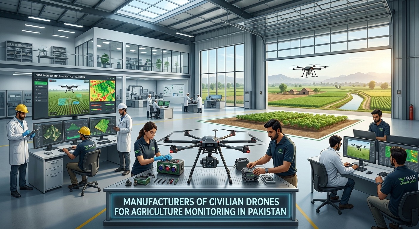
Pakistan’s agricultural backbone requires modern technology to optimize yield, manage water efficiency, and protect crops against climate volatility.
- Multispectral Health Mapping: Utilizing high-resolution multispectral and thermal sensors, our agricultural drones generate real-time NDVI (Normalized Difference Vegetation Index) maps to detect early signs of crop stress, disease, pest infestations (e.g., locusts or cotton leaf curl virus), and water deficits before visual symptoms appear.
- Targeted Crop Spraying & Fertilizer Application: Equipped with intelligent dual-pump distribution systems, our heavy-lift spray hexacopters deliver precise chemical and bio-pesticide application. This minimizes chemical drift, protects field workers, and reduces overall input costs by up to 30%.
- Canopy & Yield Analytics: Proprietary software processes aerial imagery to deliver accurate stand counts, canopy coverage evaluation, and harvest yield estimates for wheat, rice, sugarcane, and fruit orchards.
2. Emergency & Disaster Response
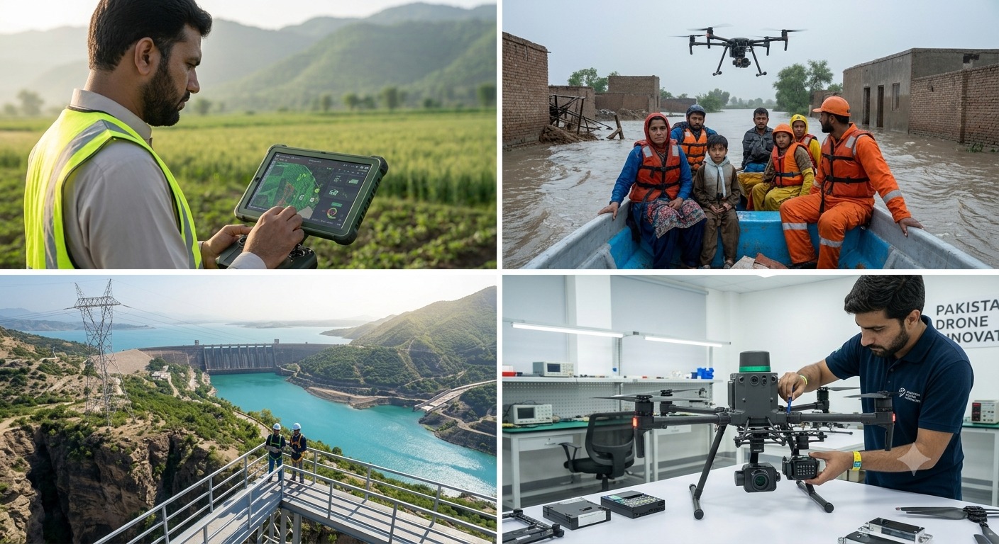
In the face of recurring natural disasters like flash floods, monsoon inundations, and earthquakes across Pakistan, rapid aerial response saves lives.
- Flood Mapping & Search and Rescue (SAR): Equipped with 30x optical zoom and high-sensitivity dual thermal imaging, our drones navigate low-visibility conditions during disasters to locate stranded citizens and map submerged routes for rescue teams (PDMA / NDMA / Rescue 1122).
- Emergency Medical & Supply Payload Drop: Heavy-payload multirotors designed with quick-release winches transport critical medical kits, clean water, communication radios, and emergency food rations to isolated regions where road access is cut off.
- Post-Disaster Damage Assessment: Long-range VTOL (Vertical Take-Off and Landing) drones rapidly survey hundreds of square kilometers to provide government agencies with real-time geospatial damage reports for rapid aid distribution.
3. Infrastructure Inspection & Industrial Audits
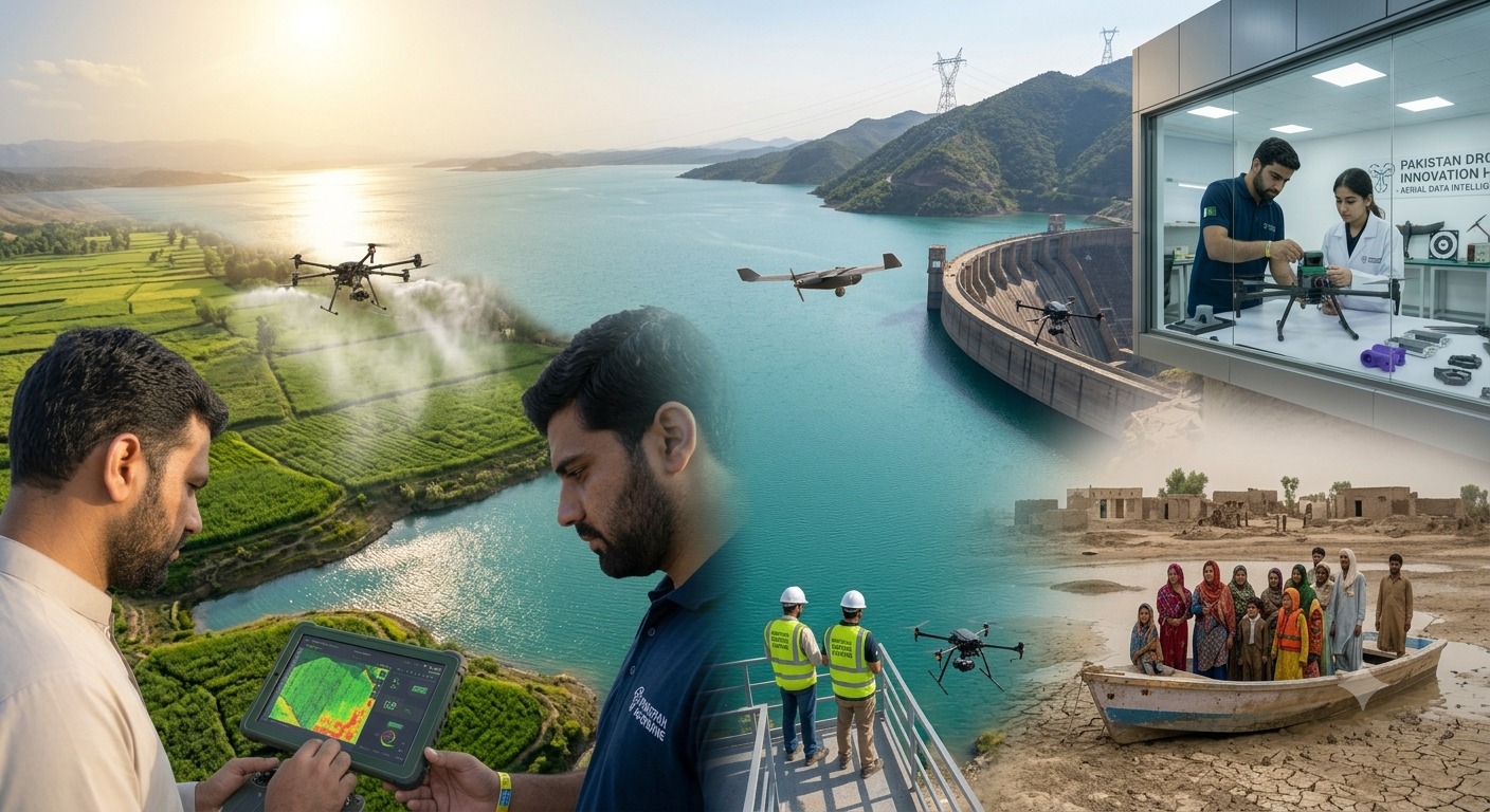
Inspecting mega-structures and energy networks manually is dangerous, expensive, and time-consuming. Our specialized inspection drones automate this process safely and precisely.
- Power Grid & Transmission Line Inspections: High-definition optical and radiometric thermal cameras detect micro-fissures, insulator flashovers, and overheating hot spots on high-voltage transmission lines without needing power shutdowns.
- Dam & Water Reservoir Monitoring: Long-endurance UAVs capture volumetric data and perform structural health checks on major national assets, such as Tarbela, Mangla, and Neelum-Jhelum hydro projects, assessing siltation levels and dam face stability.
- Corridor & Pipeline Surveillance: Long-range fixed-wing drones monitor gas/oil pipelines, highways, rail networks, and CPEC transport corridors for structural defects, encroachment, and environmental erosion.
Why Local Manufacturing Matters
- Engineered for Local Conditions: Built with IP67-rated weather resistance to withstand Pakistan’s high ambient summer temperatures and dusty agricultural/desert environments.
- In-Country Support & Spare Parts: Zero waiting time for international shipping—all spare parts, repairs, battery replacements, and technical support are managed locally.
Ready to integrate drone technology into your operational workflow?
Contact our engineering team today to schedule a live field demonstration or request a custom procurement proposal.